Spillways, levees, reservoirs … the list of water management-related jargon goes on. To help keep your head above water, we’ve spelled out some common terms with local context. First up, we have Loch Lomond Reservoir and some much-needed good news.
The City of Santa Cruz depends on local rainfall for most of its water supply. This dependency makes prolonged droughts extra concerning, but the recent rains drowned out worries about this year’s reserve.
Loch Lomond Reservoir, located a couple of miles from Ben Lomond in the Santa Cruz Mountains, holds 2.8 billion gallons of water—about one year’s supply for city residents.
“The reservoir was designed in the late 1950s to ‘fill and spill’ each year, ensuring that there would be enough water in the reservoir to provide drinking water to Santa Cruz throughout the dry summer months,” notes the City of Santa Cruz Water Department. “However, the reservoir has only filled five out of the past ten years, leaving city residents vulnerable to water shortages.”
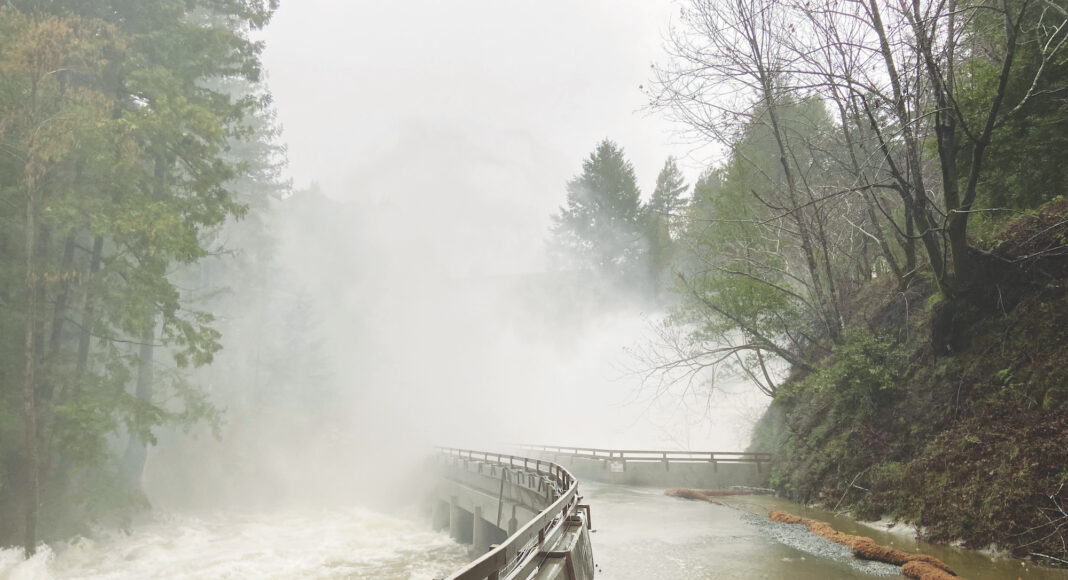
Loch Lomond is the city’s only drinking water reservoir. Levels had dropped significantly after the past few years of drought. But the recent storms filled the reservoir for the first time since February of 2019, and water now spills onto the Newell Creek Dam spillway.
Loch Lomond is a manufactured reservoir rather than a natural lake. The defining factor of a reservoir is a dam. Dams control water levels and allow for the storage of water.
When reservoirs fill—as Loch Lomond has—spillways, also sometimes called overflow channels, direct excess water from the tops of dams downstream.
Newell Creek Spillway directs stormwater downstream to Newell Creek, which feeds into the San Lorenzo River in Ben Lomond.
Rivers naturally overflow into floodplains, but development near waterways means natural flooding can turn disastrous.
In attempts to prevent overflowing, communities often build levees along riverbanks. Also called dikes, embankments, floodbanks or stopbanks, levees are ridges meant to keep rivers from changing course or flooding nearby low-lying areas. They can be permanent and made of earth or concrete or temporary emergency structures made of sandbags.
The Pajaro River levee in Watsonville has drawn attention during the recent storms as it showed signs of potential failure earlier this month. Santa Cruz County began making emergency repairs last week, but these solutions are temporary.
The levee was built in 1949 and broken by flooding as soon as 1955. In 1963, the Army Corps of Engineers declared the levee inadequate, but the project languished for decades without funding or agreements on improving it.
The levee has failed four times, and in 1995 the flooding killed two people.
Finally, the state allocated several million dollars to the Pajaro River Flood Risk Management Project in 2022. The project is expected to cost $400 million and draw additional funding from President Biden’s Bipartisan Infrastructure Bill. Construction will likely not begin before 2025.


