
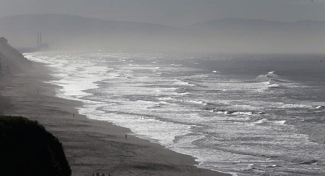
Dangerously large waves, strong winds and rain are expected along the Santa Cruz and Monterey County coastlines this weekend, prompting beach closures and evacuation warnings for low-lying coastal neighborhoods.
The National Weather Service is warning of breaking waves reaching 25–35 feet, with occasional waves as high as 50 feet at favored surf breaks such as Mavericks.
Santa Cruz city beaches and the municipal wharf will close Friday night through early Sunday as officials urge people to stay away from the shoreline.
The Santa Cruz County Sheriff’s Office has issued evacuation warnings for two low-lying coastal areas in unincorporated Santa Cruz County, where large waves could reach homes, flood properties and make roads impassable.
The affected areas are:
- CTL-E048: Las Olas Drive and Beach Drive areas
- CTL-E031: Pot Belly Beach Road area
Residents in these neighborhoods are strongly encouraged to consider evacuating until conditions improve.
The Sheriff’s Office warned that emergency responders could be delayed or unable to reach residents if waves flood homes or block roadways.
Residents should not wait for conditions to worsen before considering leaving and should be prepared to evacuate immediately if necessary.
The National Weather Service has issued a High Surf Warning for the southern Monterey Bay and Big Sur coastline from 6pm Friday through 4am Sunday. A Coastal Flood Advisory is also in effect for the Santa Cruz coast from midnight Friday through 6pm Saturday.
Strong winds beginning Friday could bring down tree branches and power lines, causing outages. Heavy surf and elevated tides could also cause coastal flooding and restrictions on coastal access.
Monterey County Sheriff Tina Nieto urged residents and visitors to take the warnings seriously, noting that similar conditions have resulted in deaths in recent years.
“We want everyone to enjoy the beauty of our coastline, but more importantly, we want them to return home safely,” Nieto said. “No photograph or scenic view is worth risking your life.”
Officials advise people to stay away from beaches, jetties, piers, rocks and coastal cliffs, keep children and pets away from the water and never turn their backs on the ocean.
Anyone who sees someone swept into the water should call 911 rather than attempt a rescue.
Watsonville offers sandbags
With rain expected over the next several days, the City of Watsonville has opened two self-serve sandbag stations to help residents protect their homes and businesses from flooding.
The stations are located at Joyce McKenzie Park, 500 Joyce Drive, and Fire Station 1, 115 Second St. Residents should bring their own shovels.
The city will also host a free sandless sandbag distribution event Monday, Nov. 16, from 11am to 2pm at Joyce McKenzie Park.
The lightweight, water-activated bags are easier to handle than traditional sandbags and will be available to senior citizens living in Watsonville neighborhoods that have experienced flooding in the past.
Supplies are limited and will be distributed on a first-come, first-served basis.
Pre-filled sandbags will also be available to any Watsonville resident. Participants should bring identification to verify their home address.
For information about properly filling and stacking sandbags, visit the city’s emergency preparation page at watsonville.gov.
Five-day forecast
Friday, Nov. 13: Rain and gusty winds are expected, with a high of 63 degrees and an overnight low of 49. Strong winds could bring down tree branches and power lines, while rain could cause ponding on roads and highways. Dangerous surf conditions will develop along the coast.
Saturday, Nov. 14: Conditions should improve inland, with partly sunny skies and a high near 66. However, dangerous surf will continue along the coast, with waves reaching 25–35 feet or higher in some locations. Coastal flooding remains a concern.
Sunday, Nov. 15: Cloudy skies will return, with showers developing in the afternoon and continuing into the evening. The high will be around 64, with an overnight low of 50. The High Surf Warning remains in effect until 4am.
Monday, Nov. 16: Scattered showers could linger into the morning before giving way to mostly cloudy skies. The high will be near 63. Watsonville’s sandbag distribution event is scheduled from 11am to 2pm.
Tuesday, Nov. 17: A mix of clouds and sunshine is expected, with a high near 65 and an overnight low of 53.
Emergency information
Residents should monitor changing weather conditions and be prepared for additional warnings or evacuation orders if coastal flooding worsens.
For emergency alerts and evacuation information, visit CruzAware or the Santa Cruz County emergency information website.
For updated weather forecasts, surf conditions and warnings, visit the National Weather Service.